- Category
- Drone Survey
- Location
- India
- Size of the work
- 950 km Drone LiDAR
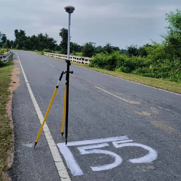
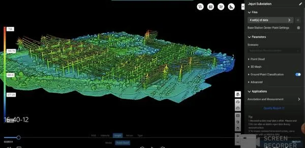
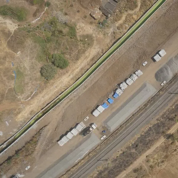
Aerial photography with UAV at 2.5 cm GSD for an irrigation project, and Drone LiDAR aerial survey of 950 km for railway and road.
- Aerial Photography data acquisition using UAV, collecting High Resolution aerial imagery with 2.5 cm Ground sample Distance (GSD) for irrigation project under WRD M.P. Total Area Covered 1.20 Lakh Hectares.
- Drone Lidar Aerial Survey with DGI Matrix 350, completed 950KM for Railway, Road.